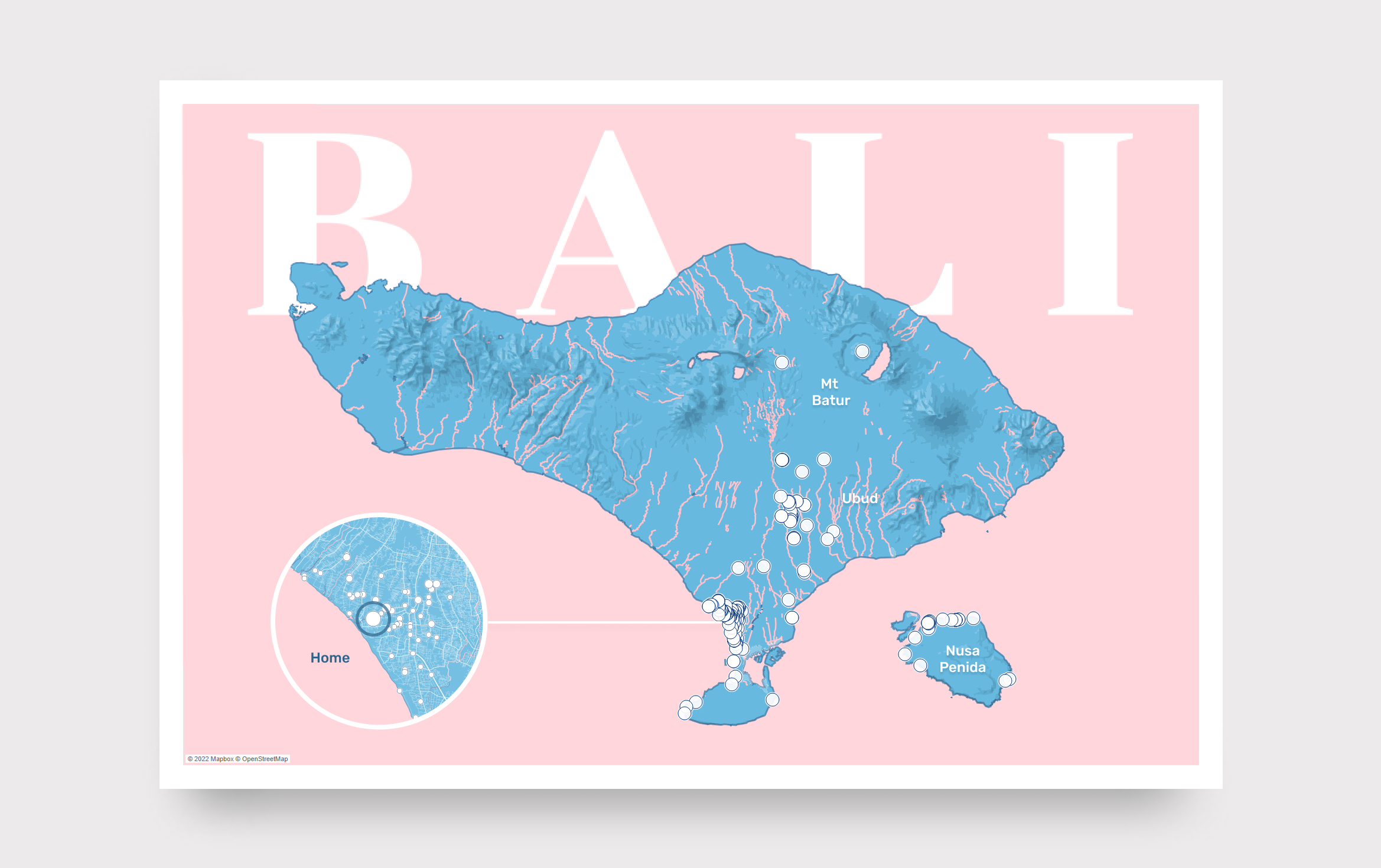
During COVID lockdowns, I ended up in Bali with a ragtag group of colleagues and friends, working remotely from a villa near Canggu. I had Google Maps location tracking turned on the entire time, my phone recording every restaurant, temple, beach, gym we visited in the background. After getting home, I started wondering if I could turn that dataset into something interesting.
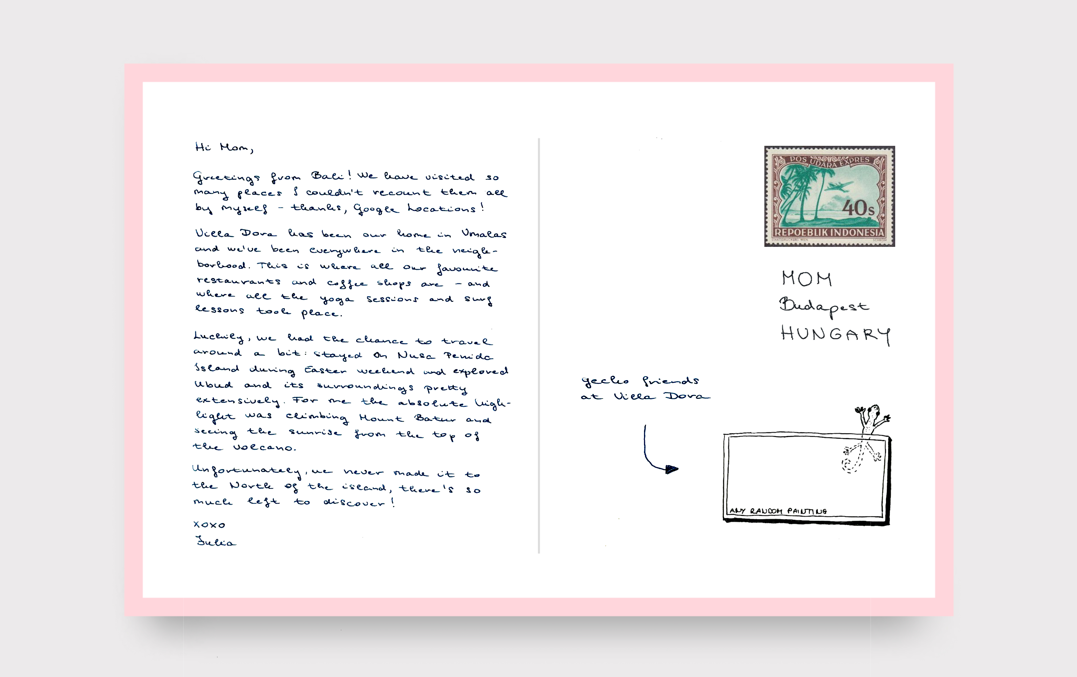
I love love love postcards. I only just recently found out that I grew up on a street named after Mihály Gervay, the first director general of the independent Hungarian Post Office and the creator of Hungary’s postcard service. I think that’s pretty awesome tbh.
Once I figured out how to work with the data (with help from my awesome colleague, István Korompai), I almost immediately knew I wanted to turn it into a postcard. We created the design together using multiple tools: Tableau, Mapbox and Photoshop. I really like how the design is driven by real data, yet the back is still just a handwritten postcard, with slightly wonky handwriting (mine).
Open the interactive version on Tableau Public HERE.


